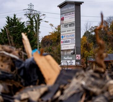
Floods occur naturally and can happen almost anywhere. They may not even be near a body of water, although river and coastal flooding are two of the most common types. Heavy rains, poor drainage, and even nearby construction projects can put you at risk for flood damage.
Flood maps are one tool that communities use to know which areas have the highest risk of flooding. FEMA maintains and updates data through flood maps and risk assessments.

Flood maps show how likely it is for an area to flood. Any place with a 1% chance or higher chance of experiencing a flood each year is considered to have a high risk. Those areas have at least a one-in-four chance of flooding during a 30-year mortgage.
Floods don’t follow city limits or property lines. Using a flood map, you can see the relationship between your property and the areas with the highest risk of flooding. There is no such thing as a “no-risk zone,” but some areas have a lower or moderate risk.
How to View and Obtain Flood Maps
The FEMA Flood Map Service Center (MSC) is the official online location to find all flood hazard mapping products created under the National Flood Insurance Program, including your community’s flood map.
Using Flood Maps
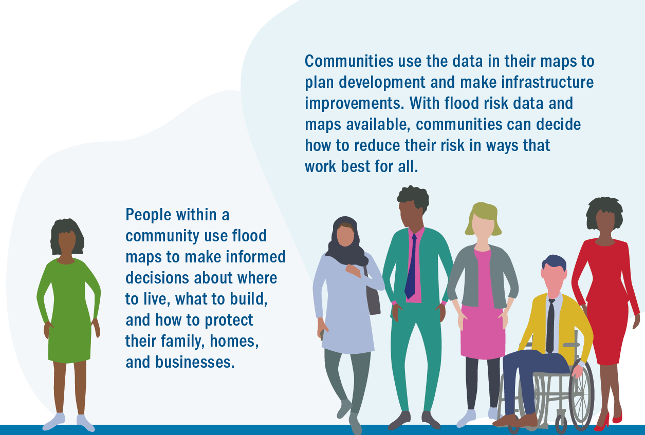
Flood maps help mortgage lenders determine insurance requirements and help communities develop strategies for reducing their risk. The mapping process helps you and your community understand your flood risk and make more informed decisions about how to reduce or manage your risk.

Change Your Flood Zone Designation
Updates to flood maps are a collaboration between your community and FEMA. Every community that participates in the National Flood Insurance Program has a floodplain administrator who works with FEMA during the mapping process.
FEMA provides the technology and relies on your community’s leaders to share local knowledge and plans to make the maps as accurate as possible.
- FEMA and the floodplain administrator work with local engineers and surveyors to collect the data to inform the maps.
- Community members are also invited to provide information to help local officials better understand how water drains in the area.
- FEMA works with local experts before combining the data into a computer model that is used to create the updated flood map.
Once the data analysis is done, preliminary flood maps will be available for review. Before your community decides to adopt the maps, you have 90 days to submit technical data to support an appeal to the map.
Any time after your community adopts the maps, you can submit data to amend or revise the flood map through the Letter of Map Change (LOMC) process.
Products and Tools
Regulatory Flood Map Products
Learn about regulatory flood map products and access flood maps, Flood Insurance Studies, and FIRM databases.
GIS and Other Products
Manage data with Preliminary Flood Hazard Data, National Flood Hazard Layer, and Hazus.
Risk Mapping, Assessment and Planning (Risk MAP)
These products provide a more user friendly analysis of flood risks within a Risk MAP project.
Tools to Help Use Products
Guidance and Partners
Guidelines & Standards
View Risk MAP guidelines and standards for flood risk analysis and mapping activities
Notices to Congress
FEMA provides a monthly summary to Congress providing details on flood risk mapping activities.
Advisory Council
Read about the Technical Mapping Advisory Council, a federal advisory committee.
Cooperating Technical Partners
Cooperating Technical Partners are communities, regional agencies, state agencies, universities and tribal nations that become more active participants in the FEMA flood hazard mapping program.
Manage Risk
Levee Flood Risk
To help understand the realities of levee risk, FEMA provides community outreach tools and construction guidelines related to levee risk.
Coastal Flood Risk
To help coastal communities understand and reduce their flood risk, FEMA has initiated coastal flood risk studies for 100 percent of the populated coastline.
Contact Us
For additional information or assistance, contact a Map Specialist in the FEMA Mapping and Insurance eXchange (FMIX).
Sign up for emails to receive flood hazard mapping updates.


